The day started out really cool but soon heated up for a beautiful autumn day. We went into the township of Hahndorf and it was full of beautiful historic buildings that Germans had constructed on their arrival to South Australia.
Between 1838 and 1839 four ships arrived carrying German Lutherans who had escaped the persecution in Germany by the then King, Wilhelm IV. From 1837 to 1900 about 18,000 Lutherans emigrated to Australia from Germany. The captain of ‘Zebra’, Dirk Hahn, was so impressed with the industriousness of his passengers he advocated on their behalf for newly surveyed land near Mt Barker and as a gesture of thanks the Lutherans named their village Hahndorf.
We enjoyed browsing the shops – Rosie picking up a few purchases as always supported by Dave managing the bags and cash. Beryl and Clare also picked up a couple of items at the German Village shop.
We went back into town at 6pm for dinner at the Haus, and ‘authentic’ German cuisine restaurant/bar. I ordered the trio of Wursts and Trev and Clare shared the Bavarian tasting platter – which was HUGE and consisted of a crispy pork knuckle, 3 different sausages plus a smoked pork chop with creamy mash and sauerkraut.
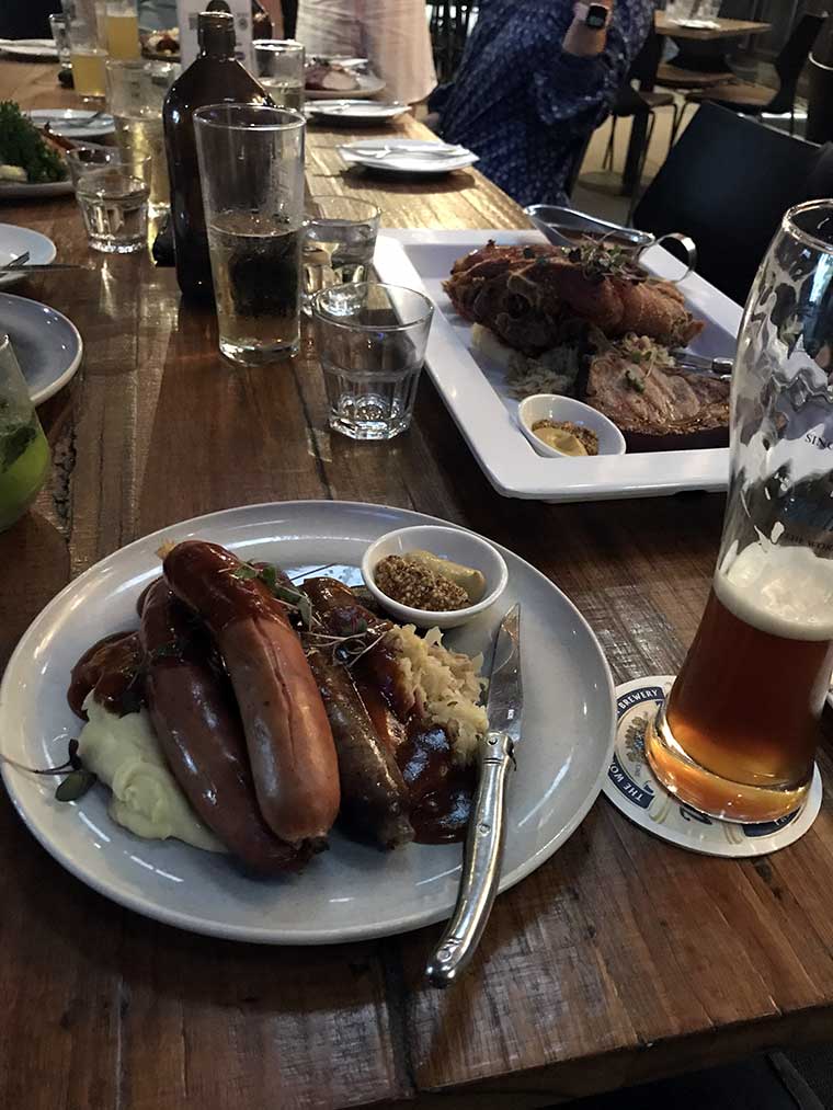
I was a bit disappointed – nothing matches Mum’s cooking.
After dinner we went in search of more strudel – alas the shop where Gordie had ‘the best strudel ever’ was shut.
Back home to get organised for the journey tomorrow to the bottom of the Yorke Peninsula.
The pack up went like clockwork and we were on the road by about 0930 heading towards the outskirts of Adelaide where we were going to stop and pick up supplies.
We had decided to take the scenic route to avoid the busyness of Adelaide city driving so headed north from Hahndorf through the vineyards and orchards through Cudlee Creek and One Tree Hill into the back of Northeast Adelaide to do our shopping at Munno Para West shopping centre. The drive was through very picturesque farmland with apple-laden trees, cherry orchards, vineyards as well as sheep and cattle farms.
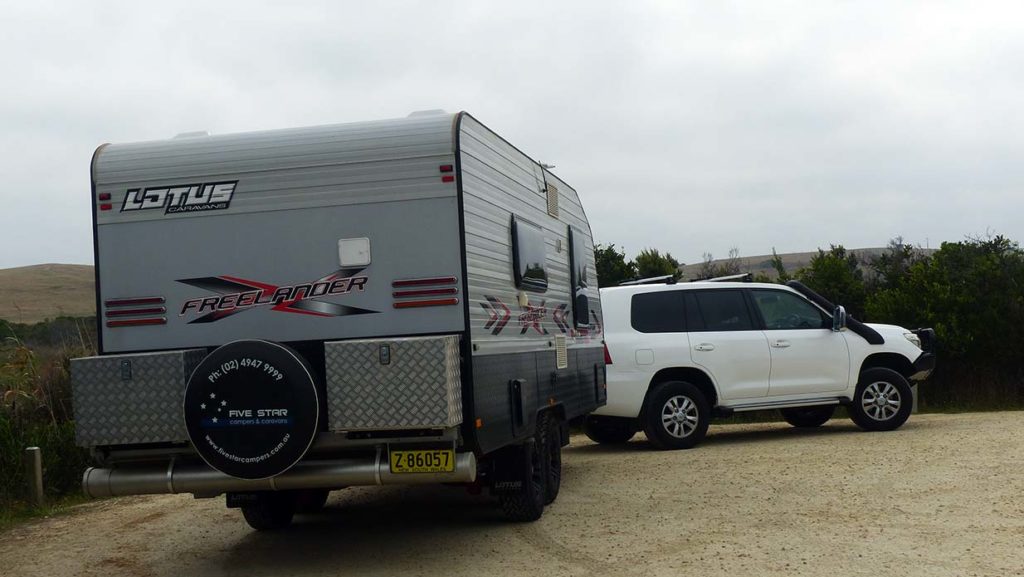
As we entered suburban Adelaide, the Loveday’s heard a loud bang and metallic sound coming from the rear of their van via the speaker connected to the rear camera. Looking under the van they could see the water tank half hanging down, dragging on the road. The metal bracket had broken at the bend but it appeared that the tank had not ruptured. If they had gone on any further, the tank would have been destroyed.
Everyone had pulled over to see what had happened, so it was decided that the Wells and Weiss group should continue to the shops and the others would work out what to do about repairs. A phone call to a local caravan repair place, advised Trev that the brackets were easily replaced with a metal strip that could get found at Bunnings. Bunnings was only 10 mins away – 5 minutes past the shops we were going to for groceries.
As Gordie was unhitching his van so they could drive to the shops, an old lady came out of her house that he had parked in front of. They thought she was coming out to see if all was OK or maybe offer us a cuppa, but nothing was further from the truth. She abruptly said ‘I have already called the council – you can’t park here – I can’t see to get out of my driveway’ Kerry politely explained the breakdown situation, but she would not have a bar of it. Gordie explained they would not be there very long, but she was still not happy, so Gordie moved the van further down the street. McGyver Trev managed to do a temporary repair using some tough webbing straps that he had in the Ranger so we were ready to go, planning to do a more permanent fix at Marion Bay our next stop.
Marion Bay is down at the southern end of the Yorke Peninsula, so we still had about 3 hrs drive to get there. A quick stop for lunch at a rest stop and we continued south down the peninsula.
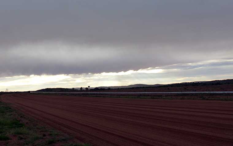
The terrain was very dry, flat, and windswept with cattle and sheep farms as well as mining areas. Copper was mined at Moonta located on the Yorke Peninsula. Today there is a large copper deposit near Ardrossan which is said to be the largest in South Australia. A company has put in a proposal to mine it.
We passed the dolomite mine at Ardrossen. Salt is also produced on the peninsula, and gypsum and lime were also mined down in what is now Innes National Park.
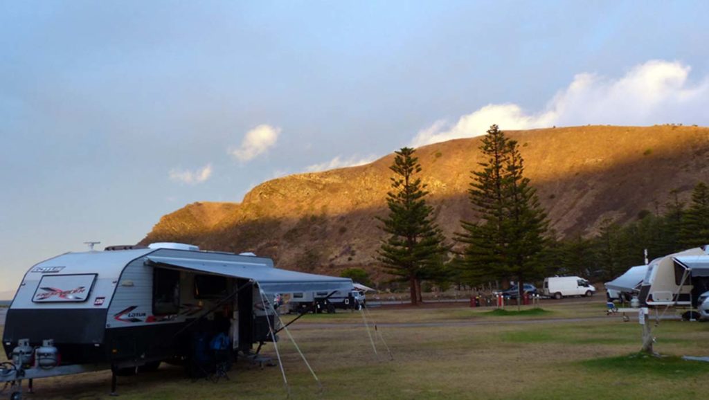
We arrived at Marion Bay Caravan Park, set up and Trev went to work on checking the repairs more thoroughly. The tanks appeared intact, and everything else seemed undamaged. McGyver’s strapping held up well. A more permanent repair maybe in store over the next few days.
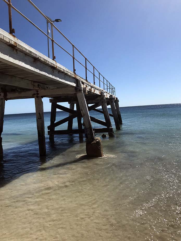
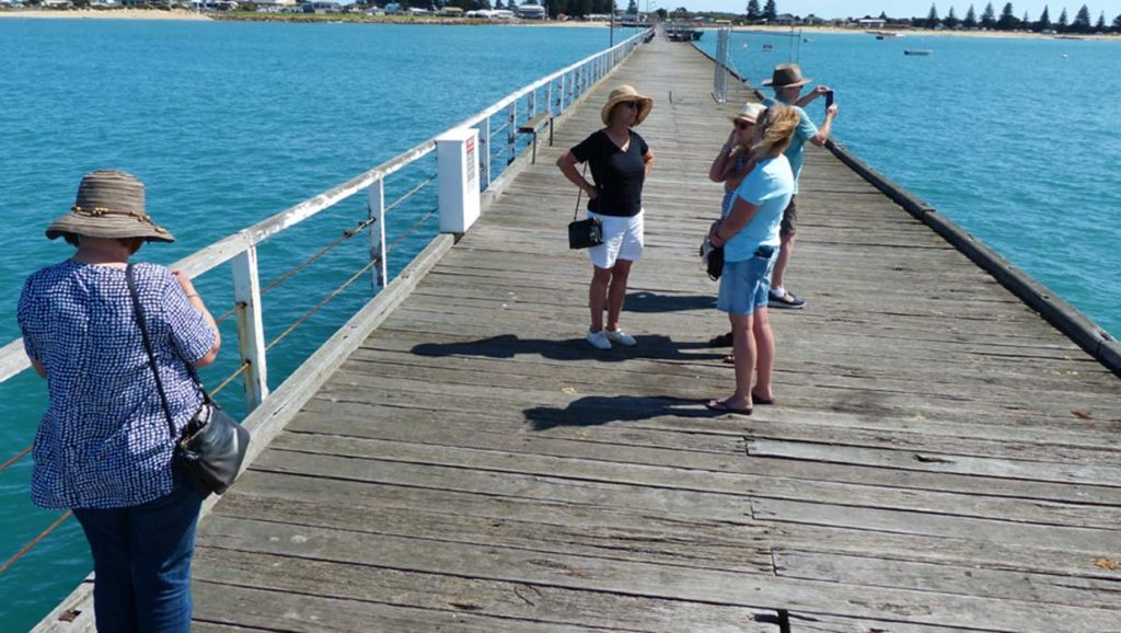
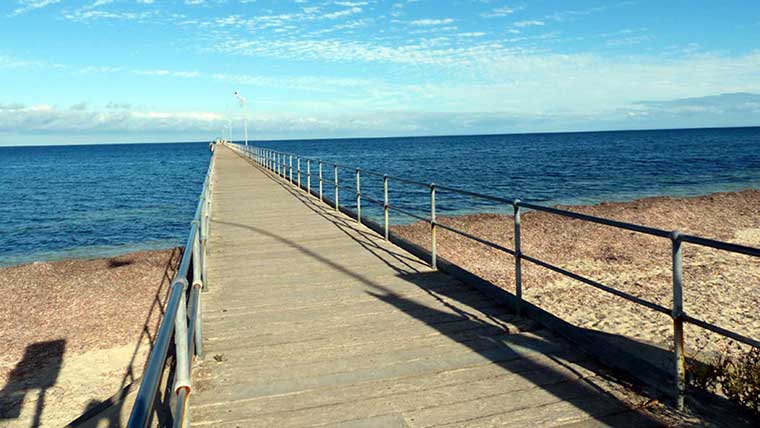 Jetty at Marion Bay
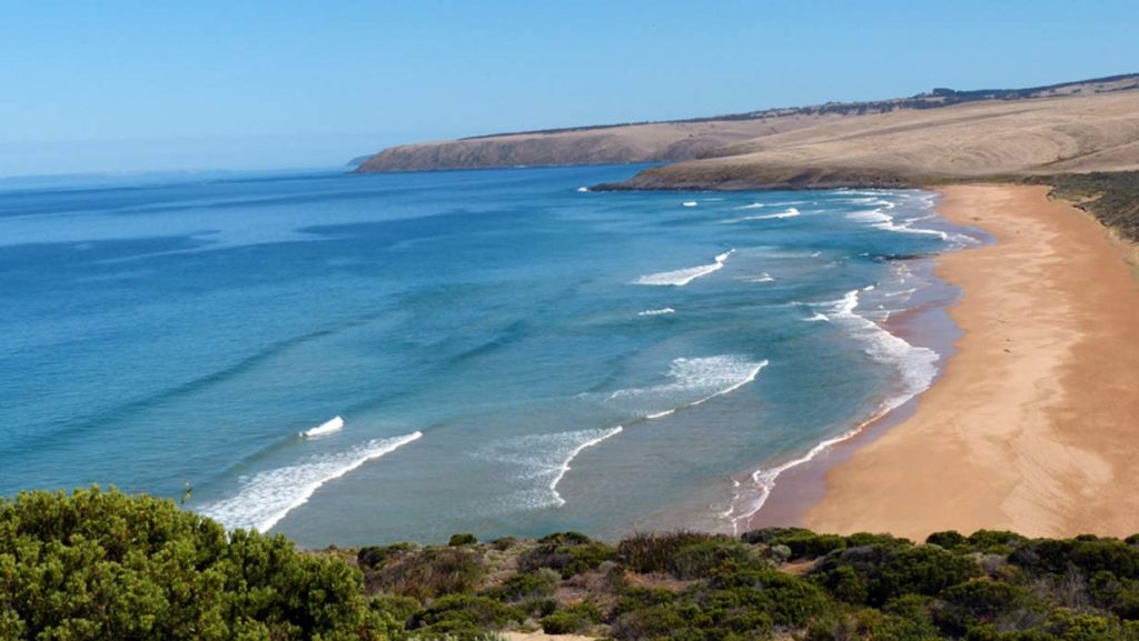
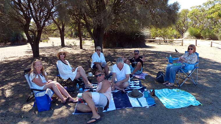
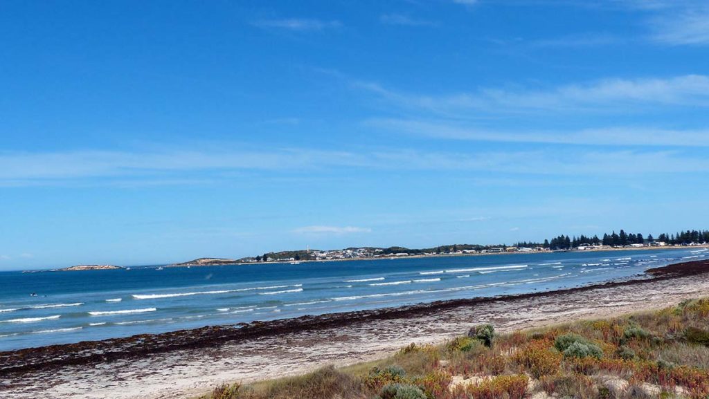
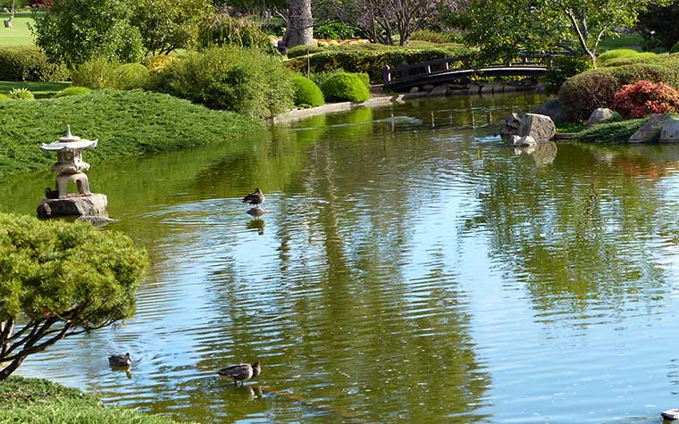
Our sites were beachfront, so we had a water view from our van and the scrub in front was great for protection from potential wind. We all relaxed once set up, then went for a quick walk down the short track to the beach. Marion Bay is a large bay with a JETTY at one end, blue water, and white sand, although there was quite a bit of seaweed on the beach. The water was surprisingly warm. We all had coffee/ supper together and it was great to kick back after an eventful day.
The day started with Gordie getting lowdown on the surf conditions and places from a ‘young mate’ camped behind them. We had looked at the map of the area and decided to use the day to explore the northwest coast of the Lower Yorke Peninsula starting at Daly Head which has been dedicated as a surfing reserve.
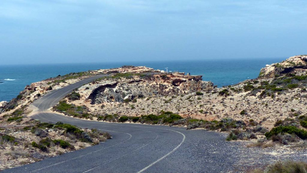
The roads out from the main road were all dusty dirt roads. On the road out to Daly Head there were enormous sand dunes which sparkled in the sunlight and had what appeared to be rocky points sticking out of the top. They were pointy hillocks of bushes.
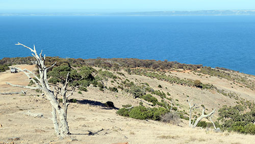
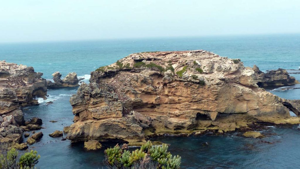
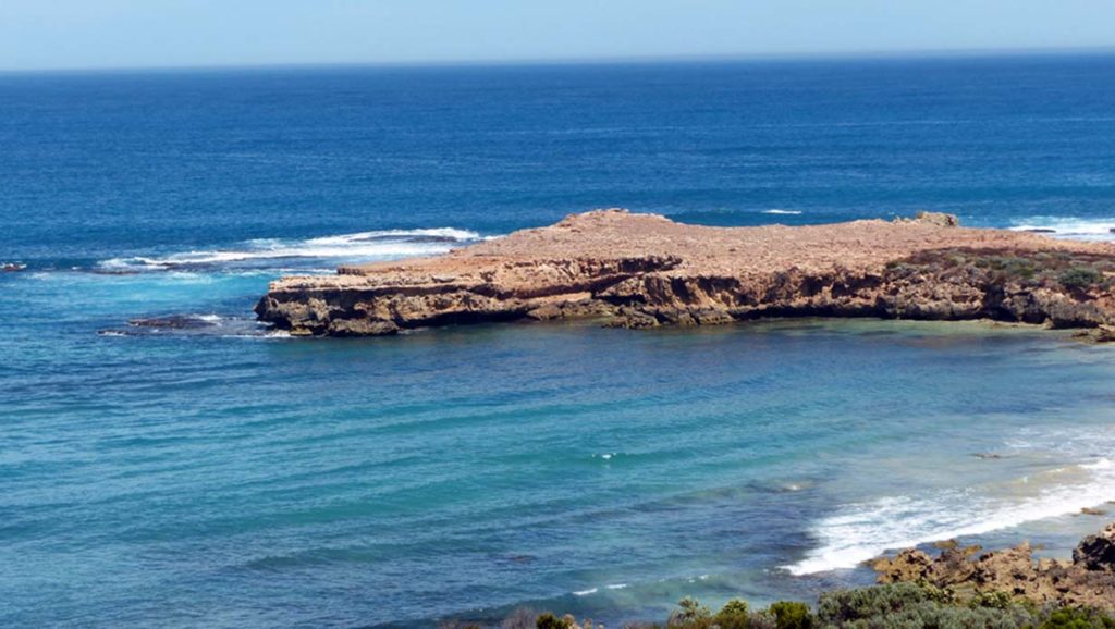
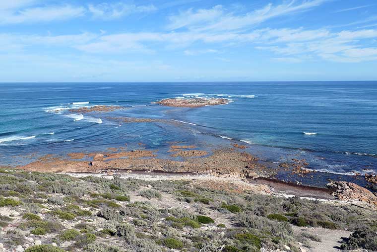
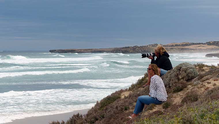
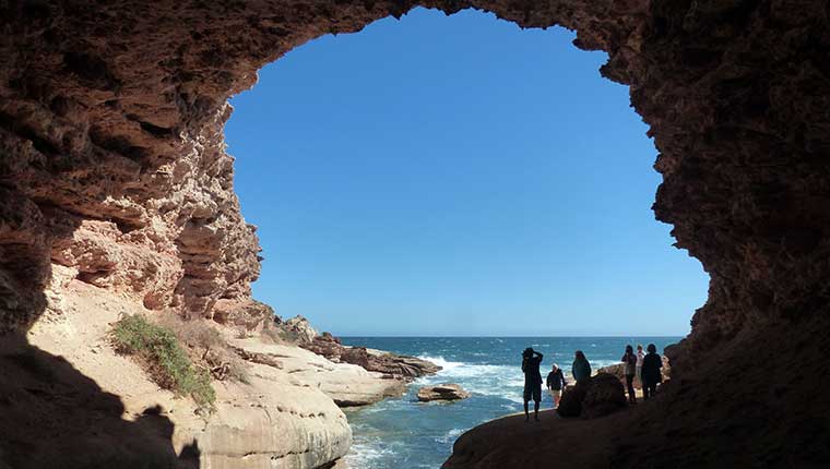
We stopped at the first carpark at Daly Head, a spectacular area to view the multiple surf breaks in different directions. A few surfers were out catching some waves. The rugged coastline with multiple reefs and rocky islands was beautiful and wild – so unspoilt and remote.
There were several vantage points along the road, so we drove to the next one. The Pearl came in too hot and missed the turn, so the Titan jumped in first.
The beaches along this stretch looked untouched and the views were amazing. The surf looked OK, but Gordie decided to continue on with us to check out some more spots before making a final decision as to where to have a surf.
Out next stop was Gravel Bay which was far more attractive than its name. The beach was quite protected from the wind but there was no surf, so we moved on to the next location Berry Bay.
Unfortunately, the south end of Berry Bay was playing host to a large surf school and the water was full of learners, so the next stop was the north end and Corny Point Lighthouse.
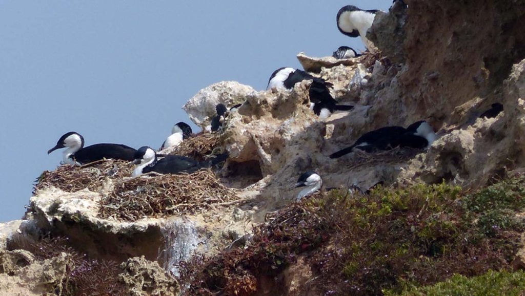
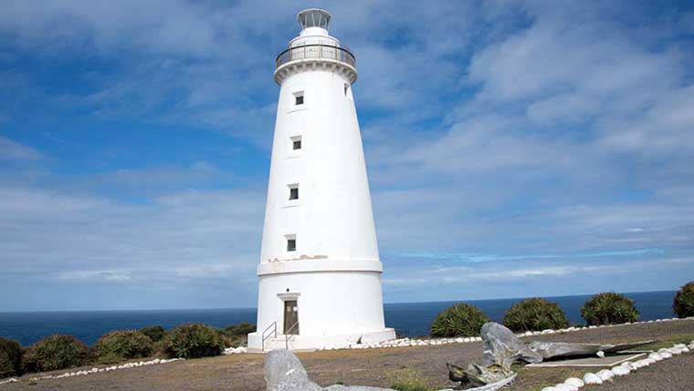
The rocky headland upon which the Corny Point lighthouse is built as well as the submerged reefs nearby were a hazard to the sailing ships trading in Spencer Gulf. The 15-metre-high lighthouse was first lit in 1st March 1882 and was manned for 37 years until 30th June 1920 at which time it was automated. From the headland you looked north towards Horseshoe Bay and out to sea the rocky reefs were easy to see.
The wind was cool and had picked up a bit, so we decided to go back to Gravel Bay to have lunch. We walked down to the sheltered end of the beach and spent some time there eating and relaxing.
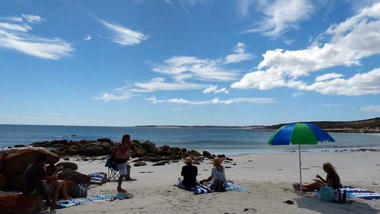
Gravel Bay was very picturesque with aqua water, white silky sand and large outcrops of granite rocks at either end. The rocks had an orange colour in parts much like what we had seen on Kangaroo Island. The orange hue comes from lichens, a combination of algae and fungus that live together in a symbiotic relationship.
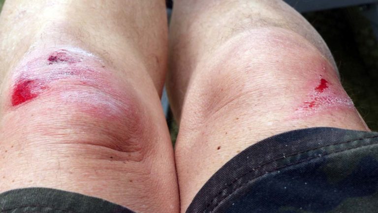
We walked around the rocks, looking in rockpools and enjoying the unspoilt nature of the area. Trev, Rose, Dave, and Clare all went in for a swim in the crystal , but the two elderly members of the group decided it was too cold.
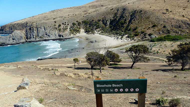
We checked out Marion Bay JETTY on the way home. The jetty was built in 1889 to aid with delivery of supplies and transport of gypsum mined in the area.
Today we had decided to spend exploring Innes National Park which is renowned for beautiful, rugged coastline, surfing beaches and lots of historic sites. Those who had not already bought their National Park passes did so online, but Gordie had an internet glitch with his. Gordie felt like a ‘Glass Half Empty Gordie’ as nothing seemed to be going right. No surf,too much wind,weather predicted to worsen and now this. Everyone tried to cheer him up with positive comments, which always works, and positive Gordie reappeared.
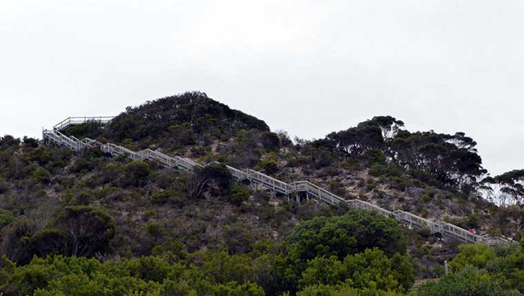
The Hunters stopped at the National Park Office and went in to sort the NP pass issue out and planned to meet up with us at our first stop. The rest of us drove to Pondalowie Bay a place of great surf and lots of dolphins. We walked along the long boardwalk from the carpark to the beach and alas when we arrived the surf was small and no dolphins to be seen. However, the views and beach made up for this. It was a beautiful location.
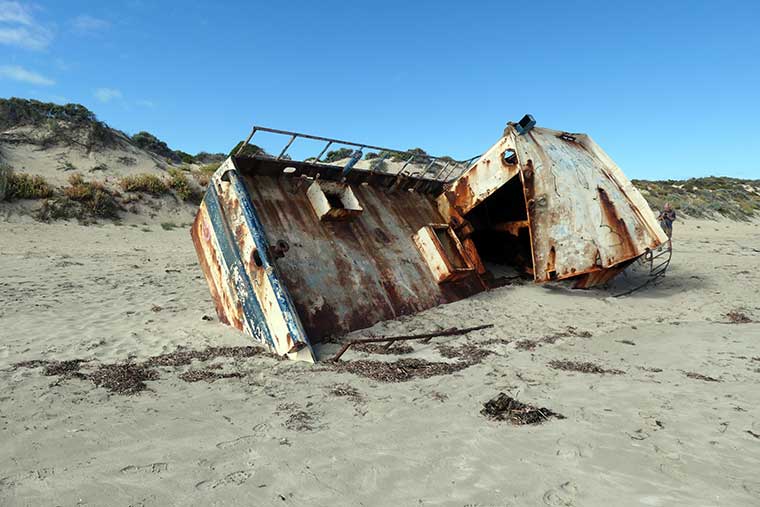
Up along the beach we could see in the distance a shipwreck on the sand so while waiting for Gordie and Kerry we all walked up to have a look. Trev stayed behind to wait for the Hunters. The wreck was not particularly old but gave opportunity for a great pic.
We walked back along the beach and met Trev. The Hunters had still not arrived, so we started walking back along the boardwalk to the carpark and met them halfway along. It seems that they had still not fully sorted out the issue and had to spend half an hour on the phone to their bank to work out if the payment had gone through. The ranger was OK and said they could pay later if it had not worked.
We left Pondalowie and drove towards West Cape Lighthouse and around the corner came across baby emus with their father walking across the road. No wonder the speed limit in the park is 40kms/hr.
West Cape was absolutely stunning even though the weather had started to become more overcast and windier. The large beach on the left side of the headland was pristine and looked deserted and untouched. The huge cliff faces were rugged and colourful with reds, ochres, whites, and yellow tones.
At the end of the cape stood the lighthouse, again a different structure, this time of stainless steel sheets. The lighthouse was built in 1980. In front of the lighthouse was a small Helipad and it was hard to imagine landing a chopper in such a small location with the winds as they were.
The view to Pondalowie Bay and its rocky islands was commanding and you could even see the fishing shacks on the hill.
Below the cliff were rugged rocks with the powerful surf swirling and breaking on them creating maelstroms of water which were fascinating to watch. The cape had an abundance of native flowers and bushes which made a beautiful ground covering over the otherwise rocky and barren area.
We stopped for lunch in a shelter at West Cape that conveniently faced the right way and got us out of the wind. Gordie decided to go back to Pondalowie after lunch for that elusive wave. Kerry came along with us to explore the rest Innes NP had to offer.
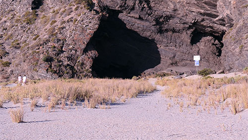
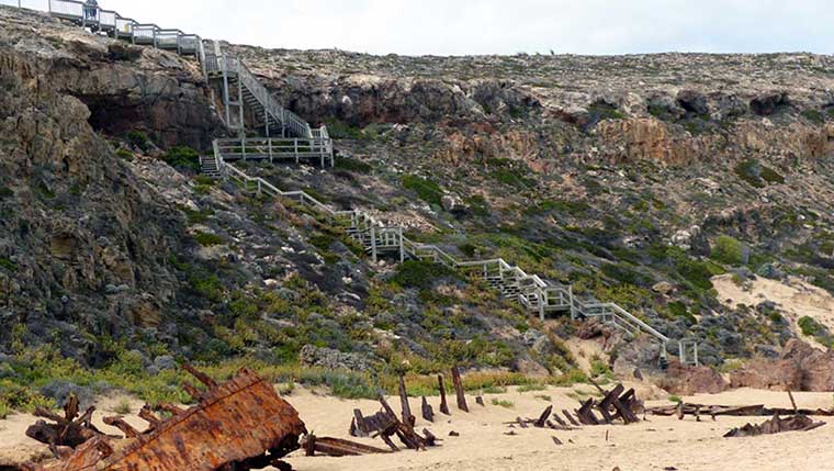
Next stop was the Ethel Wreck on Ethel Beach. We arrived and looked down over the cliff to see huge pounding surf – biggest waves we had seen so far… and the iron bones of the Ethel sticking up through the sand.
Carefully making our way down the steep staircase we got down to the beach and walked along to the wreck. The Ethel was a three masted iron barque built in Sunderland, England in 1876. On 2nd January, 1904, after damaging its rudder at nearby Cape Spencer in a south-westerly gale, it was driven ashore, with the loss of one life. The coastal steamer S.S. Ferret attempted to aid the Ethel without success and notified authorities. Ironically the Ferret ran aground on the same beach 16 years later on the 14th February 1920.
The strait between the Yorke Peninsula and KI is known as the Investigator Strait. Since the establishment of the colony in SA in 1836 it has played a crucial role as a natural thoroughfare for trade and communications. Over 26 vessels have been wrecked in this strait with a loss of over 70 lives.
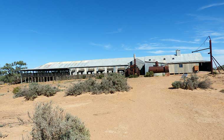
Down the road a bit further were the historic Inneston Ruins, so we stopped in and did the 2km walk around them learning about the early life on the Yorke Peninsula. Gypsum was mined and plaster produced in the village of Inneston – and transported down to Stenhouse Jetty firstly by horse and cart then later rail.
Inneston was a mining company town with more than 36 dwellings that was built in 1913. The village thrived in the early days but once the Depression hit in 1939 the building industry collapsed, and the town died. Today some of the houses have been restored and are available for holiday rent.
Cape Spenser Lighthouse was the final lighthouse for the day and again we were greeted with spectacular coastline views. A stunning beach lay to the right of the headland and was completely inaccessible – to the left were harsh, heavily eroded cliff faces with deep but clear water below.
Our last stop for the day was the Stenhouse JETTY, which was where the Inneston plaster was loaded onto ships for transport.
By this time the wind had become gale force and icy so we returned to the caravan park and gave the idea of a communal roast the flick. Trev went up to the Marion Bay Tavern and booked us in for dinner that evening. Gordie returned just in time and said that he had an amazing surf at Pondalowie with a pod of dolphins coming in so close they touched his leg. The dolphins apparently breed there so make it their home and are very human friendly. Dinner at the Tavern was great. The place was very busy, and food excellent.
The next day started slowly as it had blown a gale all night and was still blowing and the skies were overcast. Everyone took their time having brekkie.
After much discussion it was decided to have an easy day as the weather was so foul and we had a couple of long driving days coming up. Some of us walked up to the local art Gallery and café, which looked great on the internet but was disappointingly closed when we arrived. We continued our walk around the Marion Bay area and saw some unique and interesting houses most of which looked like holiday homes.
Along the beachfront the tide was up, and the wind was relentless. There was a wreck named the Willyama which was just visible above the water not far from shore. Another boat that had been a victim of this savage coastline. The Willyama had been carrying a cargo of coal from Newcastle to Port Pirie in 1907 when it ran aground in Marion Bay.
We had a look around the west end of the beach and then headed back to the vans for lunch.
The afternoon was spent reading, blogging and repairing the Loveday water tank strapping.
Gordie went out to see if there was some surf and despite the wind had another good surf at Pondalowie.
The Marion Bay Caravan Park has a fantastic camp kitchen so we decided to cook our roast dinner in the large oven there and have dinner together out of the howling wind. An added bonus was the TV, so Dave could watch his beloved Swannies play. The roast dinner was delicious, and Beryl made a legendary apple crumble for dessert – not a crumb was left!!
The wind had picked up even more and it felt cyclonic, so we all hibernated in the vans and tried to sleep – the wind was rocking the vans all night – sleep was only intermittent for some of us.

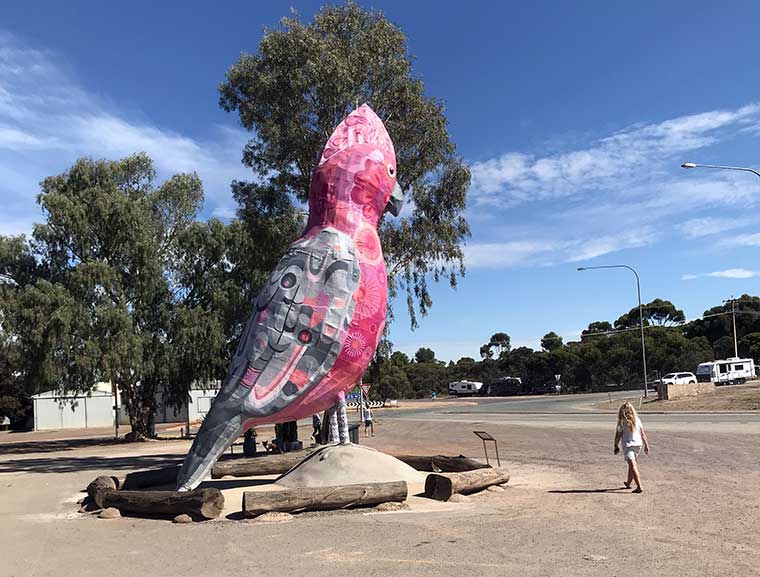
 Peterborough
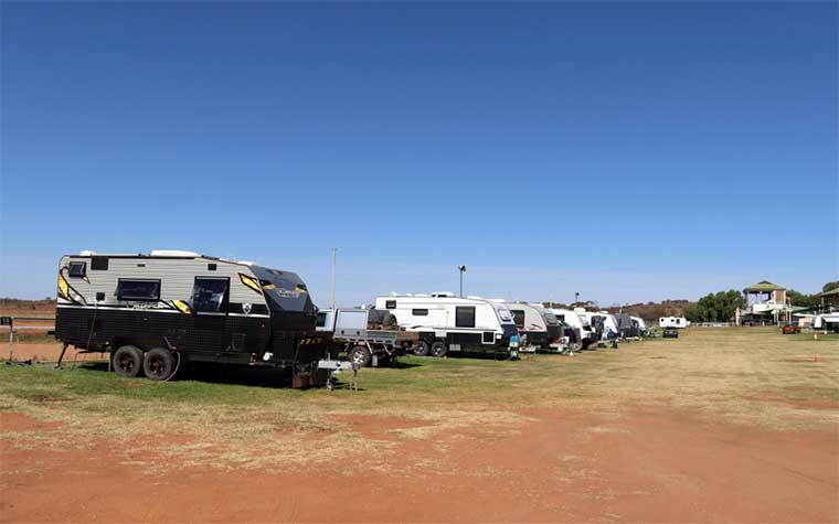
 Lunch at Solomon Town, Port Pirie
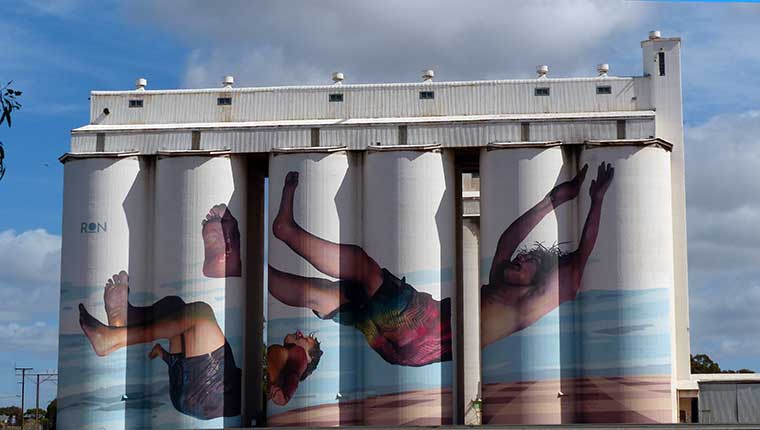 Painted silos near Tumby Bay
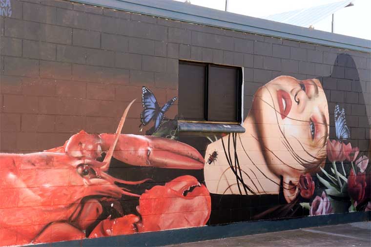
 Tumby Bay mural art features on most buildings
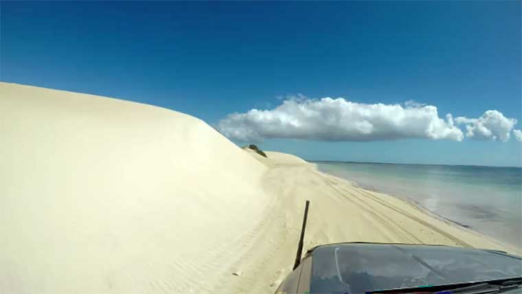 Driving out to Sensation Beach
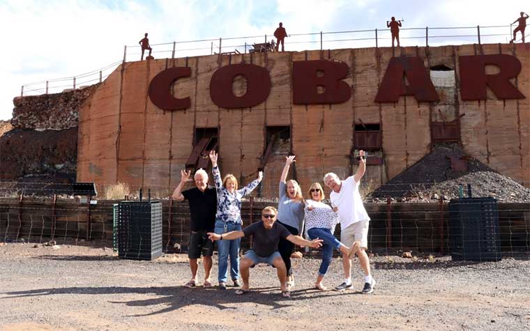
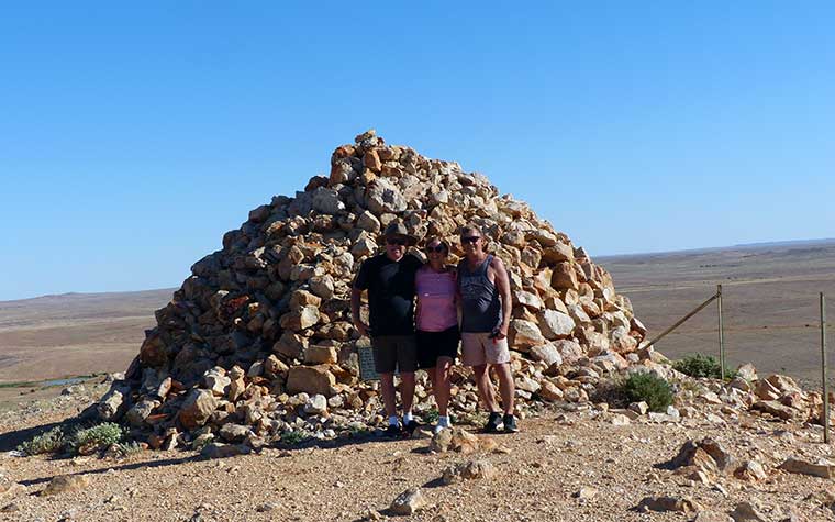
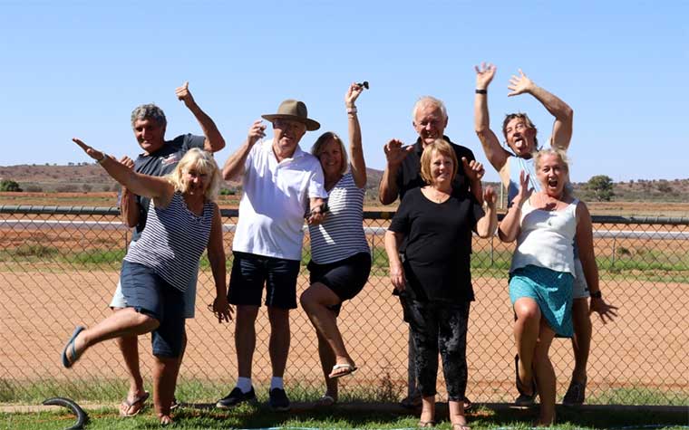
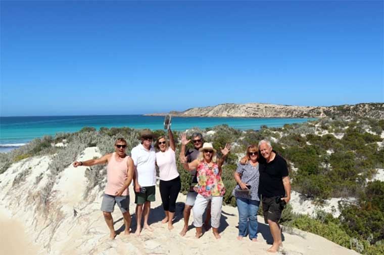 The ‘gang’ apart from Clare – taking the photo
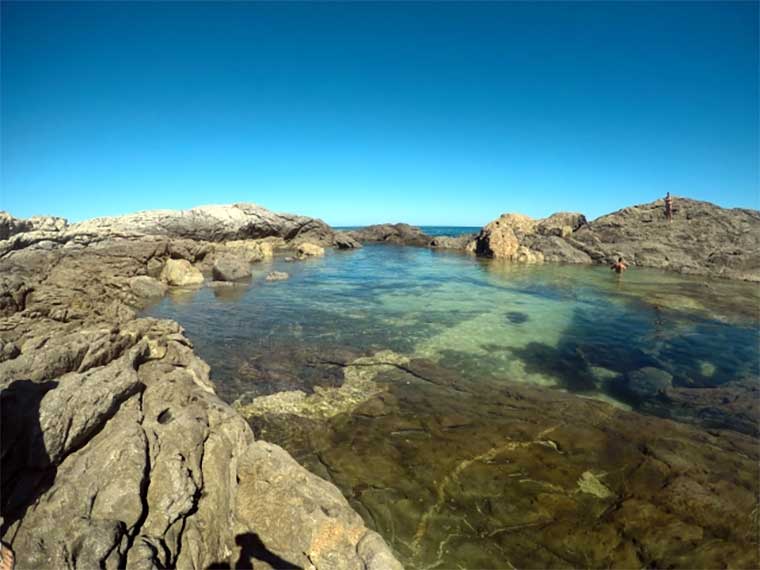 Greenly Beach rock pools
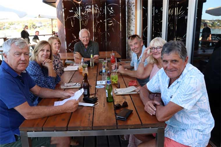 Dinner at the Oyster Bar
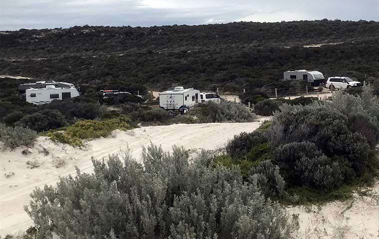 Our campsite at Sheringa Beach
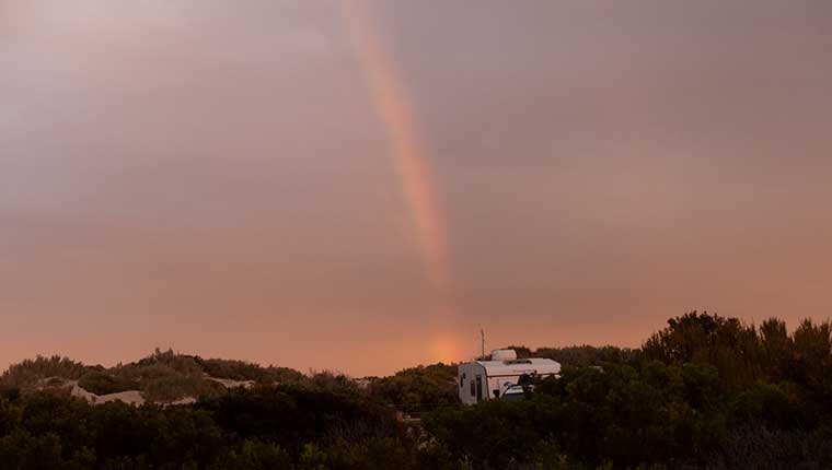
 Leaving the mainland behind, for Kangaroo Island
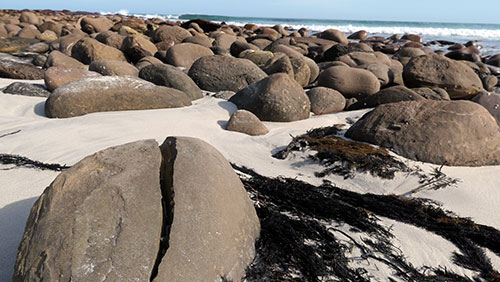 Stokes Beach
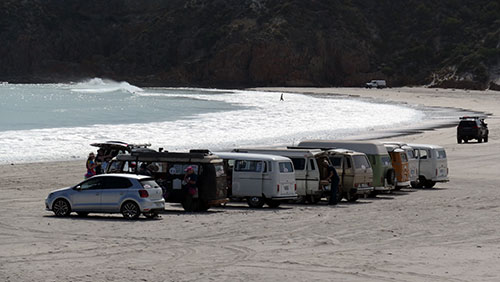
 The dining “room” is actually in the fig trees to the left of the building
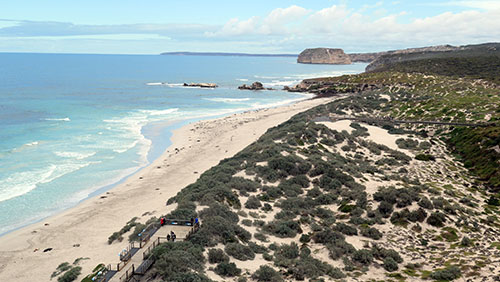 Seal Beach is a must see on the island
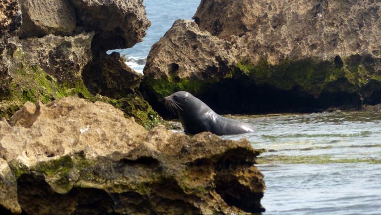
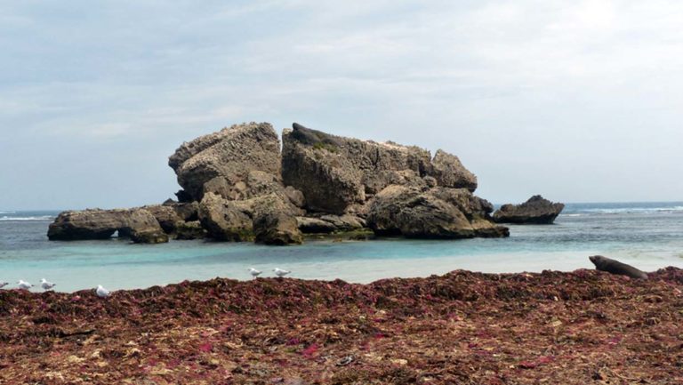
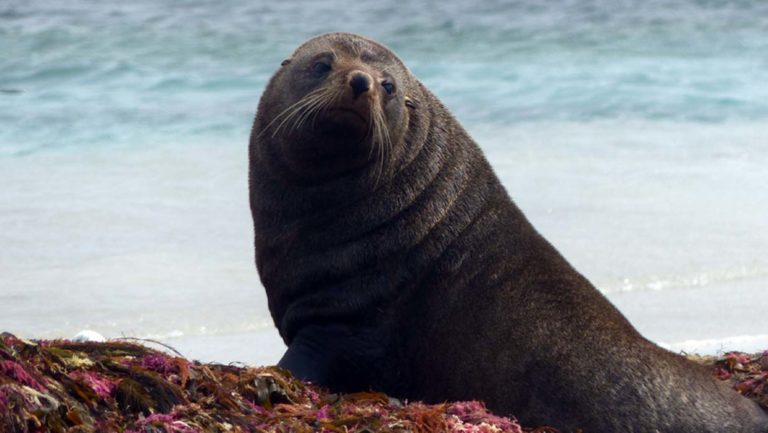
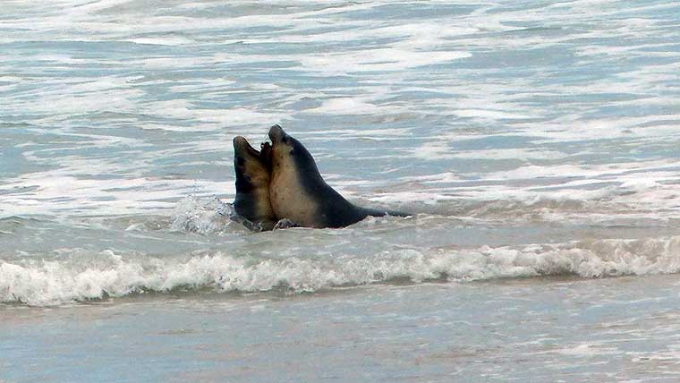
 Two Willys marching to the same tune
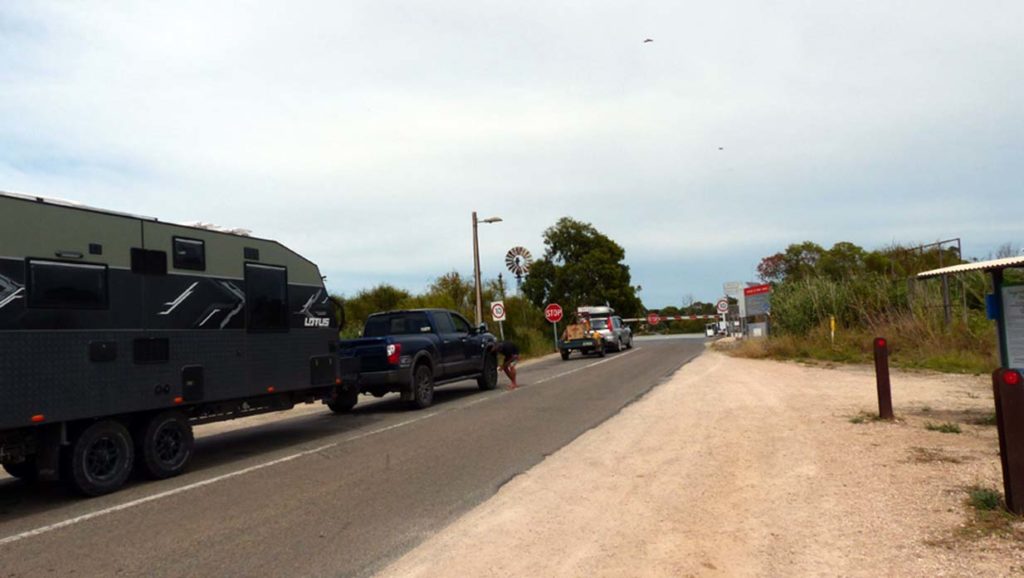 Waiting to cross on the car ferry
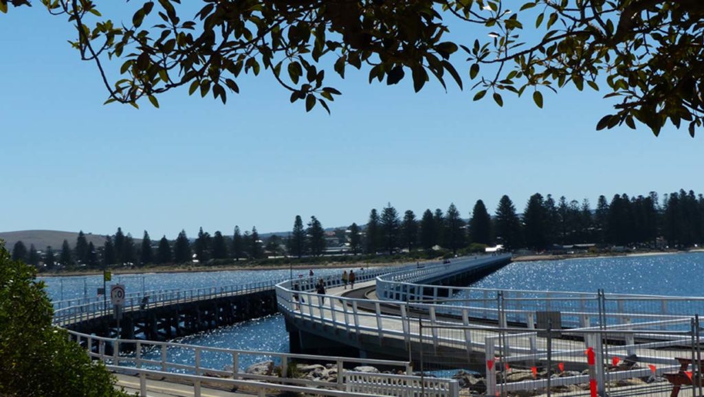
 Set up at Rapid Bay